


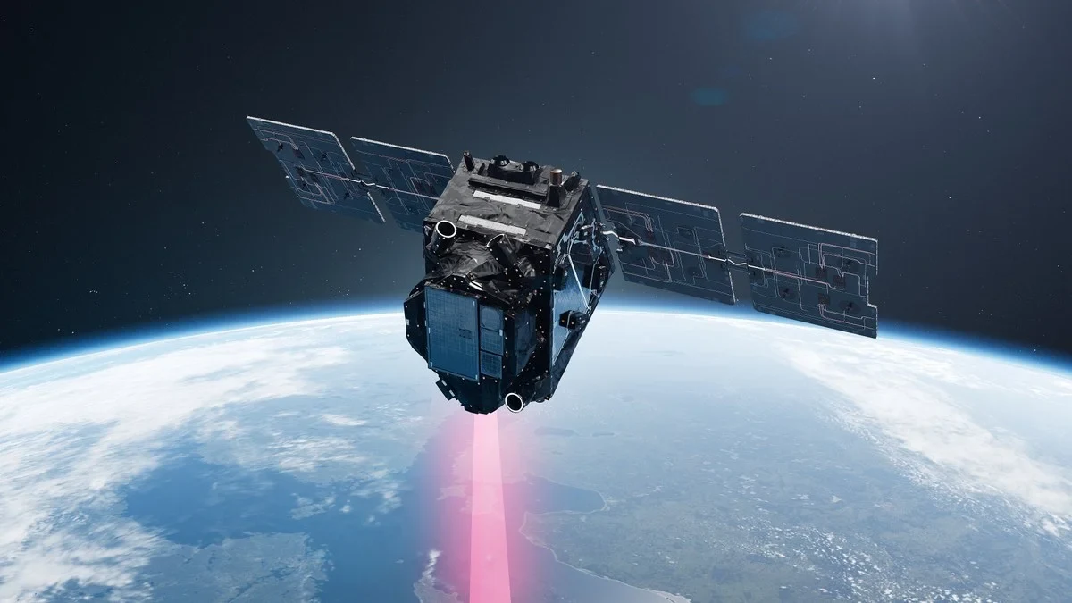
How do plants react to drought and heat? What role do forests and agricultural land play in the global carbon cycle? Answers to these questions and more will be provided by the European Space Agency’s (ESA) satellite mission FLEX (FLuorescence EXplorer), which is scheduled to launch on 15 September 2026 (03:21 CEST). For the first time ever, plant photosynthesis will be observed globally from space using a satellite developed specifically for this purpose.
FLEX measures solar-induced chlorophyll fluorescence (SIF) – a weak light signal that plants emit during photosynthesis. This signal can be used to determine how active plants are and whether they are experiencing drought, heat, or other environmental stress – often long before visible signs appear. The mission will provide the first-ever global maps of photosynthetic activity, enabling new insights into how vegetation responds to climate change and what role it plays in the carbon and water cycles.
"For the first time, FLEX will give us a direct insight into the photosynthesis of our vegetation on a global scale. This will open up entirely new possibilities to gain a better understanding of the effects of climate change on plants and to significantly improve models of the carbon and water cycles," says Prof. Uwe Rascher, head of the Institute of Bio- and Geosciences – Plant Sciences (IBG-2) at Forschungszentrum Jülich and and professor at the Institute for Crop Science and Resource Conservation (INRES) at the University of Bonn.
Forschungszentrum Jülich has been supporting the FLEX mission since it was selected as an ESA Earth Explorer mission in 2015. Thanks to its long-standing expertise in photosynthesis research and the measurement of plants under natural conditions, Jülich is undertaking several key tasks within the mission.
Researchers from IBG-2 are contributing their expertise to the scientific development of the mission. Prof. Uwe Rascher is a member of the Mission Advisory Group for FLEX. In addition, IBG-2 is developing highly specialized sensor systems for validation measurements on the ground and from the air. Following the satellite’s launch, the Jülich researchers will use these instruments to verify the FLEX data and compare them with reference measurements as part of international measurement campaigns. Validation is crucial to ensuring the quality and scientific value of the satellite data.
Open data for research and innovation
The successful launch not only marks the start of the scientific validation of the satellite data – for the scientific community, the real work is only just beginning: the freely available FLEX data must be evaluated and made accessible for new applications.
The German FLEX project office at Forschungszentrum Jülich, commissioned by the German Space Agency at DLR, is establishing a German user community for the data. It supports researchers and users in utilizing the data, develops usage concepts, and connects the community with national and international partners.
“To realize the mission’s scientific potential as quickly as possible, we need a well-connected community that uses the data to address a wide range of research questions. Our aim is to support researchers in developing new applications and to highlight the value of the FLEX data for science and society,” says Dr. Juliane Bendig, head of the German FLEX project office at Forschungszentrum Jülich.
The freely available data are intended to be rapidly incorporated into research and practical applications – from climate research and agriculture to environmental monitoring.